
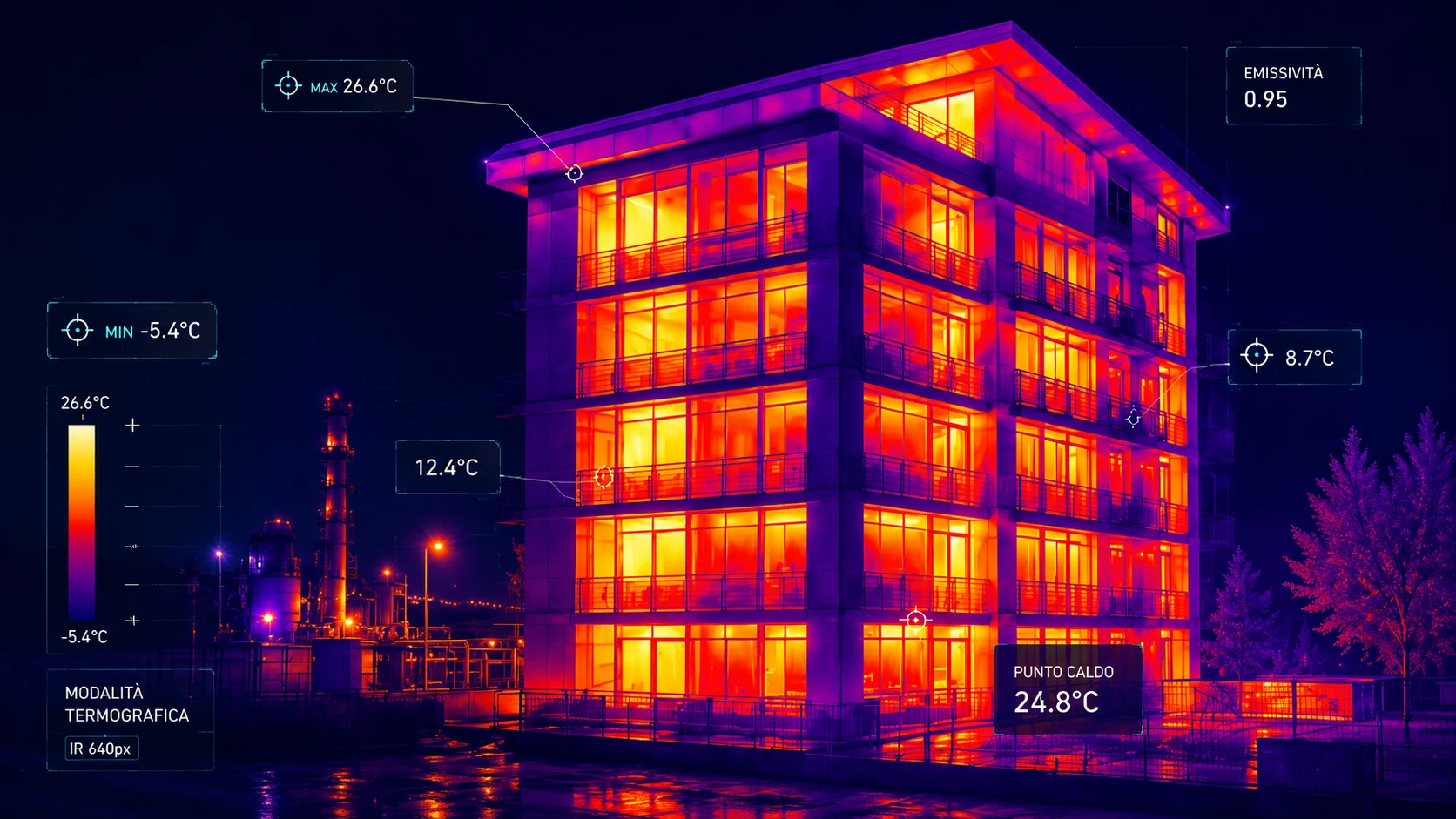
TERMOGRAFIACON DRONE
Rilievi termici ad alta precisione per individuare dispersioni, ponti termici, surriscaldamenti e anomalie su edifici, impianti e infrastrutture.
Anomalie termiche invisibili a occhio nudo
PV plants and strings
Radiometric thermal cameras with spot measurement
Roofs and coverings
Flight plan tuned to optimal thermal delta
Façades and building envelopes
Thermal + RGB comparison for each anomaly
Electrical panels and MV/LV cabinets
Full mapping with intervention priorities
Industrial plants
Verifiable, archivable technical report
Technical networks and lines
Identificare le perdite energetiche per ottimizzare i consumi
Where we operate
- PV plants and strings
- Roofs and coverings
- Façades and building envelopes
- Electrical panels and MV/LV cabinets
- Industrial plants
- Technical networks and lines
Why UAV Services
- Radiometric thermal cameras with spot measurement
- Flight plan tuned to optimal thermal delta
- Thermal + RGB comparison for each anomaly
- Full mapping with intervention priorities
- Verifiable, archivable technical report
Seeing what usually stays invisible.
Thermography reveals anomalies, dispersions and issues invisible to the naked eye, turning heat into useful information for analysis, control and prevention.
Using professional drones and radiometric thermal cameras, we run fast, precise and safe acquisitions — even in hard-to-reach points.
Where we operate
- PV plants (strings and individual cells)
- Roofs and coverings
- Façades and building envelopes
- Electrical panels and MV/LV cabinets
- Industrial plants
- Technical networks and lines
- Hard-to-access areas
What thermography detects
Many anomalies are not immediately visible. With thermography we identify:
- Hotspots and degraded cells
- Underperforming strings
- Thermal losses and bridges
- Electrical overheating
- Hidden infiltrations and moisture
- Structural defects
…before they turn into serious or costly problems.
Our operating approach
Every survey is planned with care
Irradiance, time of day and weather are critical to deliver reliable, truly useful data.
Technical survey
We analyse:
- Operating area and objectives
- Accessibility
- Environmental and weather conditions
- Operational safety
- Required minimum thermal delta
Thermal mission planning
We define:
- Optimal time window (irradiance)
- Altitude and flight speed
- Image overlap
- Radiometric camera parameters
Thermographic acquisition
We use:
- Professional multirotor drones
- Radiometric thermal cameras
- RGB cameras for comparison
- Environmental data logging (wind, temperature, humidity)
Analysis and report
At the end of the operation we deliver:
- Radiometric thermal images
- Per-anomaly thermal/RGB comparison
- Full mapping with priorities
- Evidence of detected anomalies
- Verifiable final technical report
Technology and innovation
Integrated UAV and robotic systems
For faster and more complete analyses our ground unit LAIKA complements the drones with close-range thermographic inspections from the ground.
- Reach complex areas
- Reduce operational risk
- Speed up inspections
- Achieve a complete view of the plant
Precision. Analysis. Control.
Every collected data point becomes a tool to make more aware, faster and more effective decisions.
Drone in flight. Robot on the ground. Everything under control.
UAV SERVICES GmbH — Technical operations with drones and robotics.
Let's plan your next operation
Technical site visit, feasibility analysis and dedicated quote. We reply within 24 working hours.